Projects
Building a GIS-database
Deminetec-ECG is constantly gathering (historical) data for its UXO research projects. As the number of requests for UXO research projects increases, properly storing the data becomes more important than ever. Deminetec-ECG is implementing the power of Geographical Information Systems (ECG) for this purpose. A GIS is a geographical mapping software that allows for spatial analysis and storage of location-based data. GIS proves to be extremely useful for a company like ours, for the simple reason that most data we work with is location-based data.
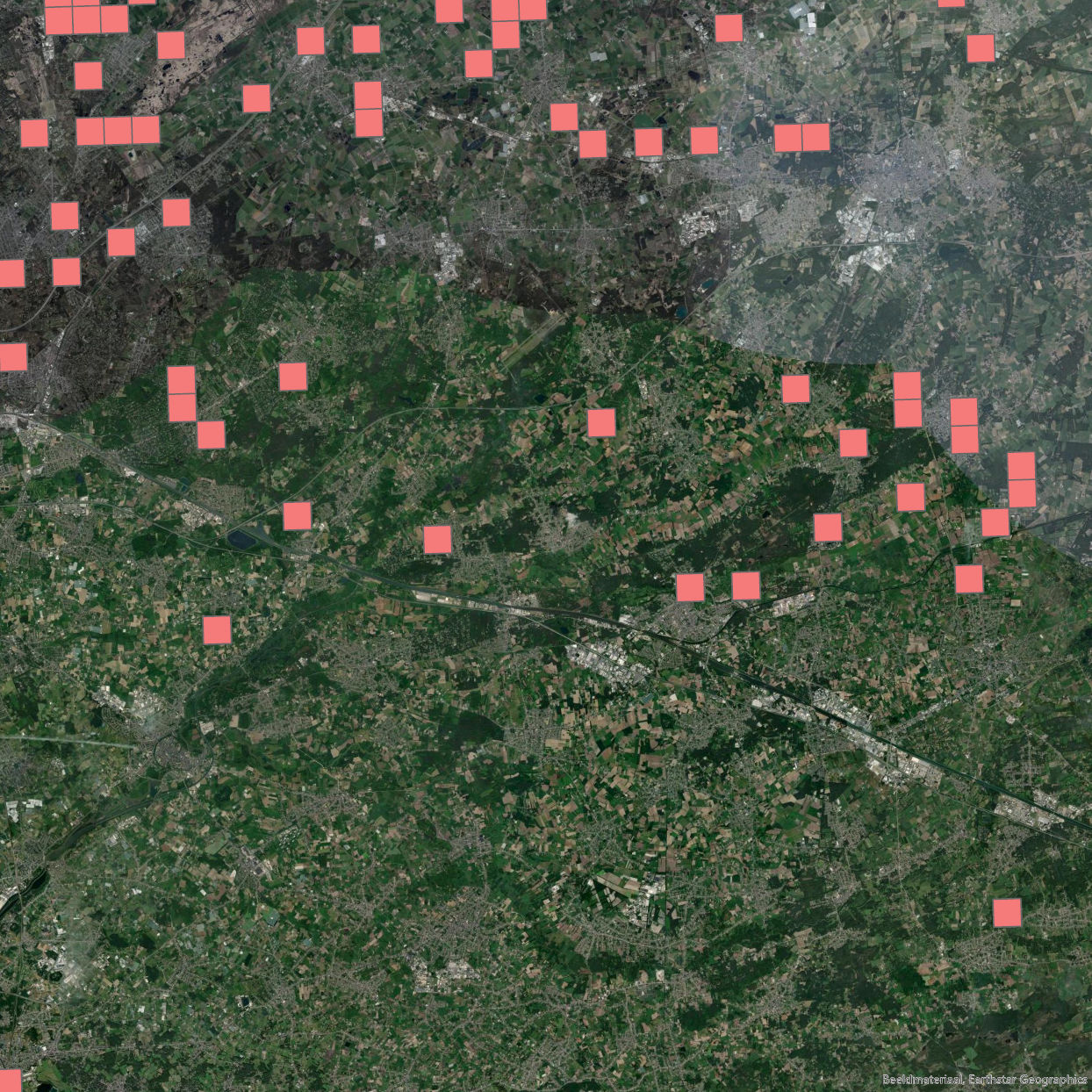
The images below illustrate what our GIS-databases are used for. The rectangles on the left image represent locations where fighter bombers attacked enemy targets. Very useful to determine where UXO may still be hiding!
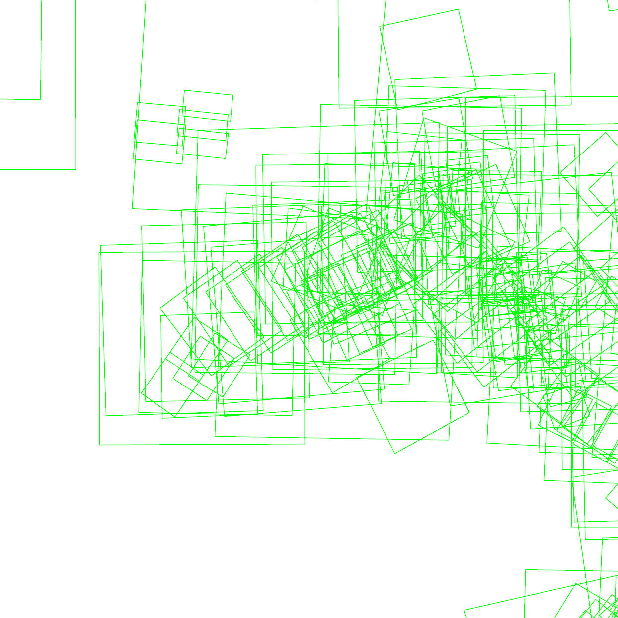
The image to the right illustrates our database of wartime aerial photographs, which allows us to get a quick overview of ‘what happened where’. Each photograph covers a specific geographical area, and we keep track of each photograph we own. Wartime aerial photographs provide highly detailed information about actions that could have led to UXO contamination, such as bombing operations and artillery bombardments. Our imagery analysts typically search for bomb craters, damaged buildings, weapon pits and trenches on these photographs, to determine whether your project area might be UXO contaminated.


